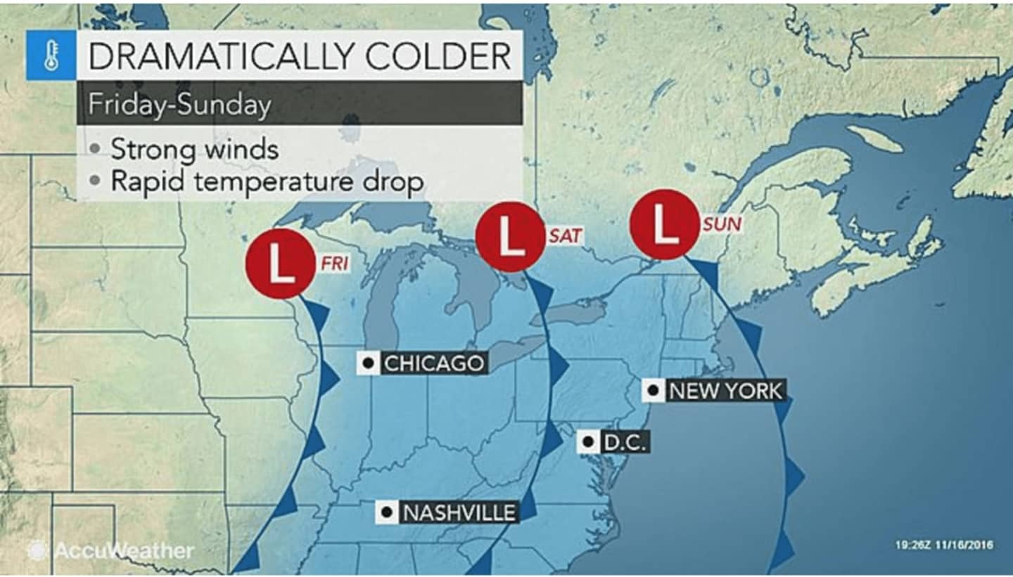
Things are going to take a dramatic turn by the end of the weekend, with snow possible for parts of the Hudson Valley and sharply colder temperatures prior to the Monday morning commute, according to the National Weather Service.
After a high temperature hittin the lower 60s Friday, patchy fog will move in after 9 p.m. and should last through 9 a.m. Saturday.
The rest of the day Saturday will be similar to Friday, with sunny skies and a high between 62 and 64 degrees.
Then comes the change.
Showers will move into the area late Saturday night and last through the pre-dawn hours Sunday.
The rest of the day Sunday will be mostly cloudy with a high only in the mid 40s.
There is a chance of rain and snow showers before 10 p.m. Sunday, followed by a chance of snow and snow showers before 3 a.m. Monday, especially in areas farther north, where the low temperature should be around 30 degrees. But even in Putnam and Dutchess, any snowfall amounts should be less than one-tenth of an inch. Precipitation should stay all rain south of I-287.
The sun returns on Monday, but the high temperature will struggle to get past 40 on what will be a cold and brisk day.
There's a chance of stormy weather on Thanksgiving Day, but it's too early to predict the severity of any possible storms or whether to precipitation will be rain or snow in some spots.
Check back to Daily Voice for updates.
Click here to follow Daily Voice Pound Ridge and receive free news updates.